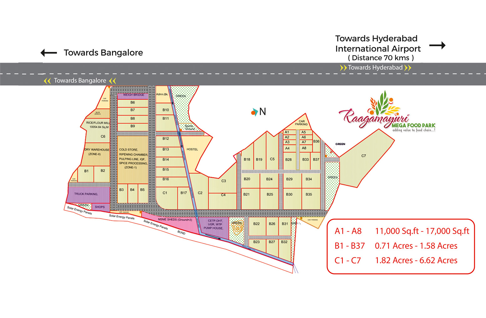
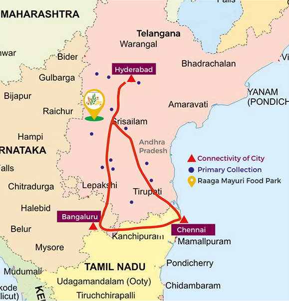
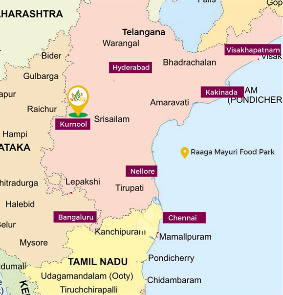
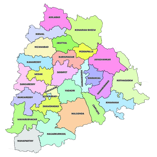
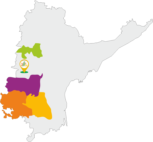
Ranga Reddy
- 2 Banana Ripening Chambers
- 100 MT Capacity (25 x 4)
- Rangareddy and its neighbour regions are a major consumption for banana
- Common Facilities & Infrastructure
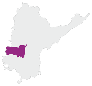
Kurnool
- Multi Chamber - Commodity Cold Store Unit
- 4000 MT Cold Storage
- Very Rich in production of Vegetables
- 10% share of total fruit production of the state
- Common Facilities & Infrastructure
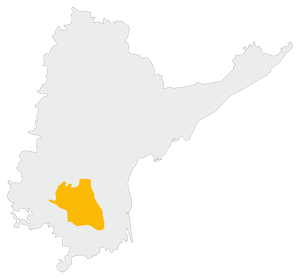
Anantapur
- Multi Chamber - Commodity Cold Store Unit
- 4000 MT Cold Storage
- Very Rich in production of Fruits
- 16% share of total fruit production of the state
- Common Facilities & Infrastructure
Kadapa
- 2 Banana Ripening Chambers
- 100 MT Capacity (25 x 4)
- 16% share of total Banana Production of state
- Common Facilities & Infrastructure
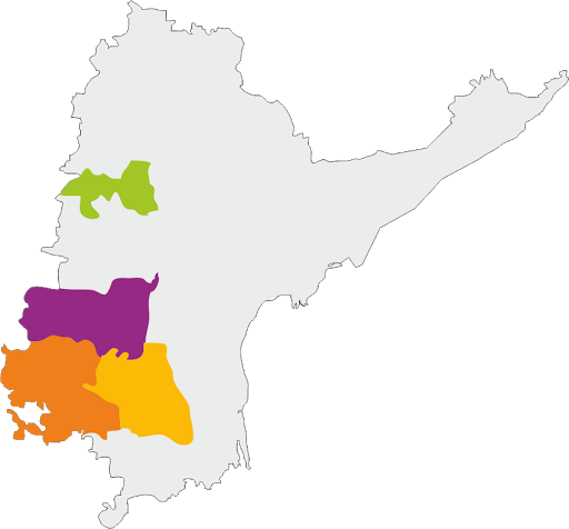
RangaReddy

- 2 Banana Ripening Chambers
- 100 MT Capacity (25 x 4)
- Rangareddy and its neighbour regions are a major consumption for banana
- Common Facilities & Infrastructure
Kurnool
- Multi Chamber - Commodity Cold Store Unit
- 4000 MT Cold Storage
- Very Rich in production of Vegetables
- 10% share of total fruit production of the state
- Common Facilities & Infrastructure
Anantapur

- Multi Chamber - Commodity Cold Store Unit
- 4000 MT Cold Storage
- Very Rich in production of Fruits
- 16% share of total fruit production of the state
- Common Facilities & Infrastructure
Kadapa
- 2 Banana Ripening Chambers
- 100 MT Capacity (25 x 4)
- 16% share of total Banana Production of state
- Common Facilities & Infrastructure